


Or at least, some of it!
Last Saturday, at the Pathways to the Past weekend in St Just, Cornwall, organised by CASPN, I gave a rather kaleidoscopic talk with copious maps about a big idea: Penwith as one big ancient site with 600 components to it.
If you were there, you might want to peer through the maps and hear it again. If you weren’t there and it interests you, well, you can hear it whenever you wish.
It’s two hours long, so save it for a rainy day or a quiet evening.
I really enjoyed giving this talk. It was great speaking to a group with local knowledge and an understanding of the subject.
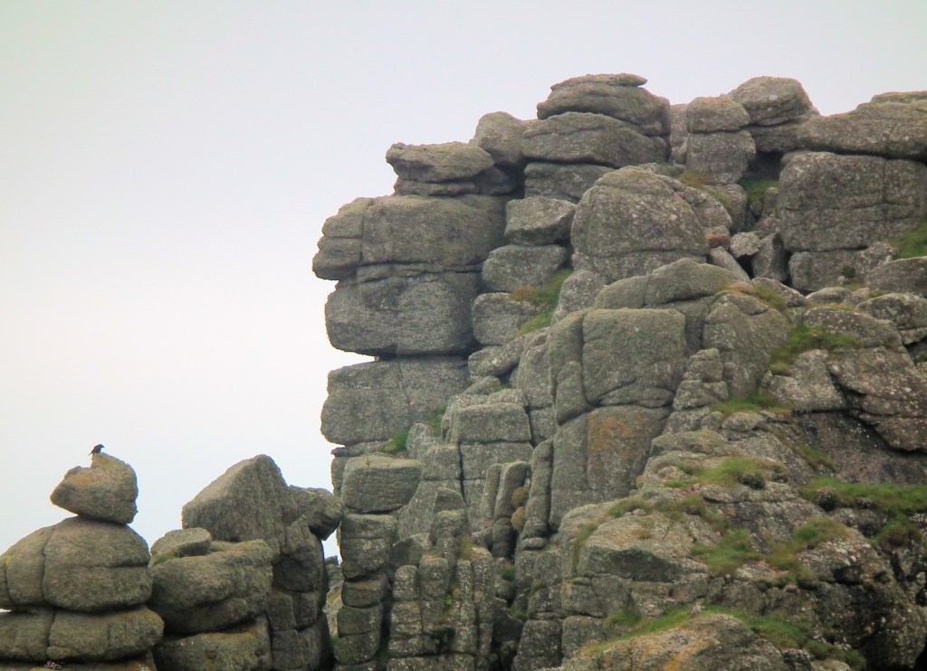
If you don’t know Cornwall but you’re into ancient sites, you’ll still get something from this. For Penwith, dense with sites, is one of the fifteen or so key megalithic regions of the Isles of Britain.
At the other end of Britain is Orkney. Penwithians and Orcadians, between us, anchor Britain and stop it floating away.
I believe we’re coming to a time now where it will help to widen and deepen the spectrum of evidence we deem to be acceptable in studying prehistory, to see what else we find and come to understand. The schism between archaeology and geomancy is something best left in the twentieth century, methinks.
With love, Palden
https://palden.co.uk/caspn.html
#leylines #Penwith #cornishancientsites #neolithiccornwall #cornisharchaeology #bronzeagecornwall #penzance# caspn# paldenjenkins #geomancy #dowsing

You must be logged in to post a comment.