
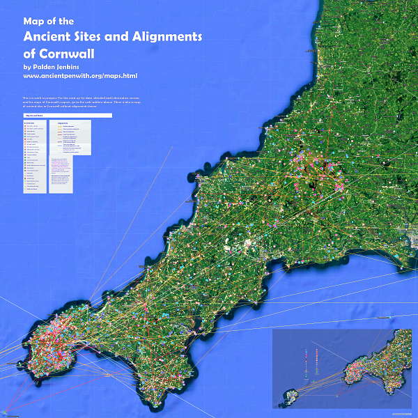
of the Ancient Sites and Alignments of Cornwall
These maps go through an update about every six months – they were first researched and constructed between 2015 and 2022. They’ve just gone through another update.
You won’t notice much of a visible difference, because they’re also a database of information about each ancient site and alignment – and it is mostly these details that get updated. I have also done some weeding of a few alignments that are less plausible. Just click on any symbol or line, and info about it will pop up – including links to other useful sites, map references and more details.
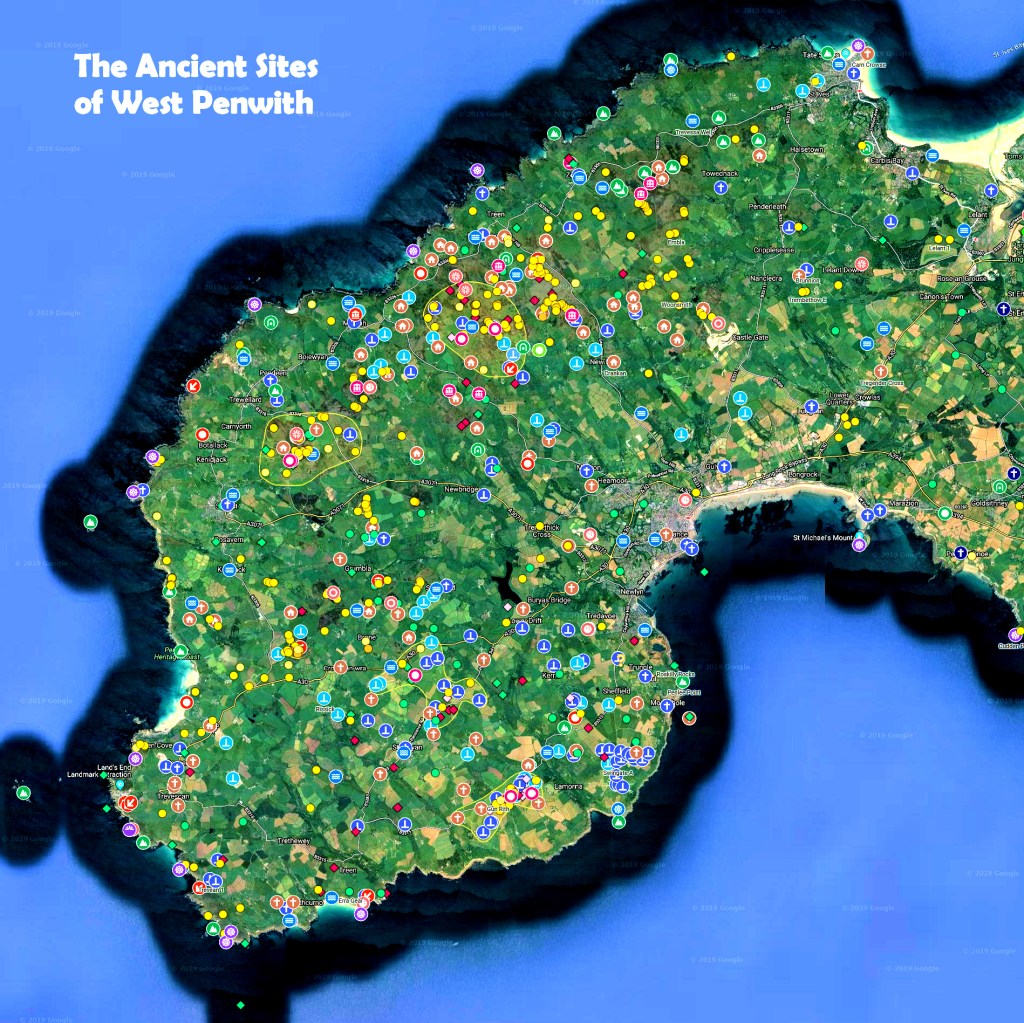
The positioning of all ancient sites on the map is pretty exact, so you can use it to find them in the field. With a few carefully thought-through exceptions, all alignments are accurate to within just 3 metres or 10ft.
However, when you’re out visiting and ‘bothering’ sites, please consider this. Geomantic energies and mobile-phone signals are not compatible – it’s like playing heavy metal music loudly, next to a tinkling stream. So if you approach ancient sites with your phone switched on, you’re not only desensitising yourself, but also you are tampering with the energy-fields of the site you’re visiting. Just because what we call ‘earth energies’ cannot currently be detected by scientific instruments, it does not mean that this will always be the case. So pls to do not contribute to the contamination of the subtle energy-fields of ancient sites – whether or not you believe what I’m talking about. Thank you!
And do enjoy using the maps. They’re for you – if you’re mad on Cornwall.
https://www.ancientpenwith.org/maps.html
Love, Palden

You must be logged in to post a comment.